

Palaui Island
Pristine island with dramatic coastlines and rich marine life.
Pabaruen Ti Cagayan
Explore the majestic peaks of the Sierra Madre and the tranquil flow of the mighty Cagayan River.
Cagayan is a province in the Philippines located in the Cagayan Valley region, covering the northeastern tip of Luzon. Its capital is Tuguegarao, the largest city of the province as well as the regional center of Region 2 (Cagayan Valley). It is about 431 kilometres northwest of Manila, and includes the Babuyan Islands to the north.
The province is bounded by the Philippine Sea on the east, Isabela on the south, the Cordillera Mountains on the west, and the Balintang Channel and Babuyan Group of Islands to the north. The central valley is formed by the country's longest river, the Cagayan, and the eastern coast is part of the Sierra Madre mountain range.
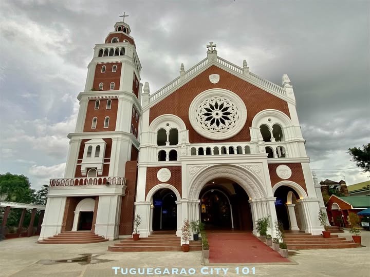
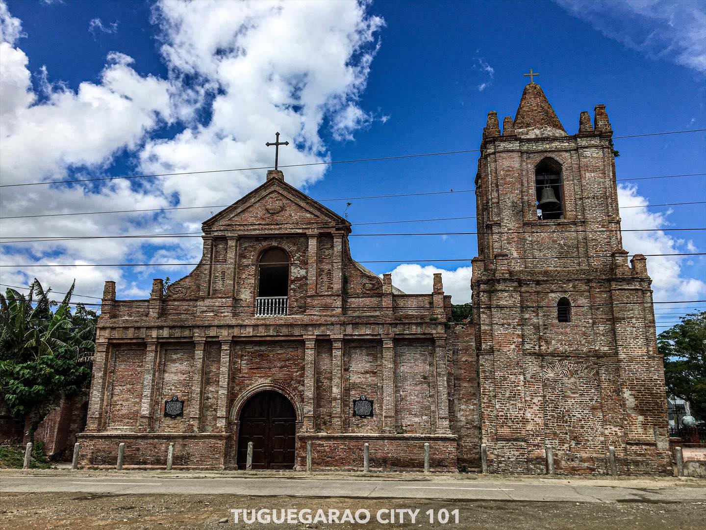
Cagayan was one of the early provinces that existed during the Spanish colonial period. Called La Provincia de Cagayan, it was organized in 1583 by Spanish Royal Decree. Its capital was Nueva Segovia (present-day Lal-lo). The Spanish friars established mission posts and the Diocese of Nueva Segovia — the influence of the colonial era is still visible in the massive churches and heritage structures across the province.
Explore the bountiful wonders of the Province of Cagayan.
Pristine island with dramatic coastlines and rich marine life.
Limestone caves and the famous Callao Man archaeological site.
Iconic bridge spanning the Cagayan River in Tuguegarao.
Volcanic island with lush landscapes and clear waters.
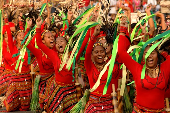
A rich tapestry of Ibanag, Itawis, and Ilocano heritage — shaped by centuries of faith, festival, and craftsmanship.
Cagayan preserves a rich blend of Ibanag, Itawis, and Ilocano heritage. Its culture reflects native, oriental, and colonial influences through traditional weaving, craftsmanship, and vibrant festivals celebrated across the province.
9,398
Total Area km²
1.2M+
Population
28
Municipalities
4+
Natural Wonders
 Ask anything about DOST R02 and Cagayan